VANCOUVER – Families in the Orchards neighborhood in Vancouver now have a safer path for walking, biking or using mobility devices to travel to school, courtesy of funding from the Safe Routes to Schools Project.
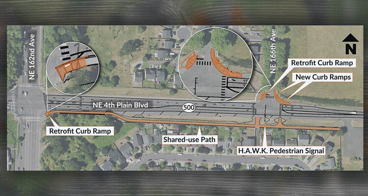
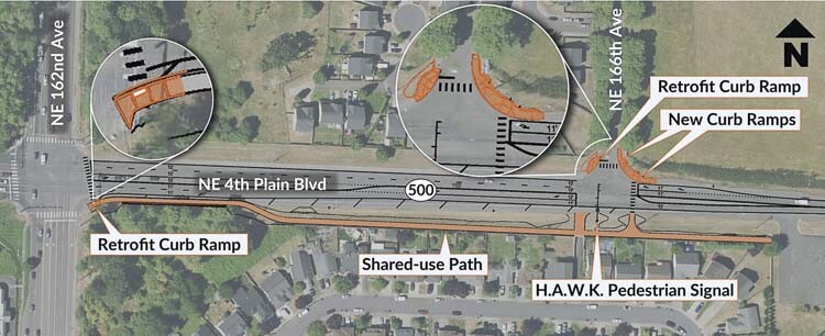
On Thursday (Feb. 15), the Washington State Department of Transportation will activate the HAWK signal as the final phase of the recently constructed shared-use path, located on the south side of State Route 500, also known as Northeast Fourth Plain Boulevard, between Northeast 162nd and Northeast 166th Avenues.
What is a HAWK signal?
The HAWK (High intensity Activated crossWalk) signal is a traffic control device used to facilitate safer pedestrian crossings without disrupting traffic flow. Unlike a traditional traffic signal, a HAWK signal is activated and operates only when a pedestrian pushes the crossing button. When there are no pedestrians, vehicles move without interruption.
An activated HAWK signal will operate in a yellow-red-flashing red sequence. When drivers encounter the yellow and red flashing lights, they should treat them just like any other traffic signal. During the flashing red interval, drivers may proceed through the crossing area only if it is completely safe to do so without posing any risk to pedestrians.
Pedestrians can activate the HAWK signal by pushing the button at either end of the crossing. The lights on the HAWK signal will indicate when it is safe to cross. A visual traffic signal aids both drivers and pedestrians in determining when it’s safe to proceed along their chosen route.
In late summer 2023, contractor crews completed the permanent roadway striping along this route, offering additional visual and reflective lane guidance for drivers and enhancing safety for all road users.
Know before you go.
Get real-time travel information via the WSDOT mobile app, the real-time travel map, or by signing up for email updates and alerts.