New ramp meters and smart signage are coming to the area ahead of an Interstate Bridge closure next September
VANCOUVER — Next year is shaping up to be a memorable one for commuters in Clark County, and a busy one for the Washington Department of Transportation (WSDOT).

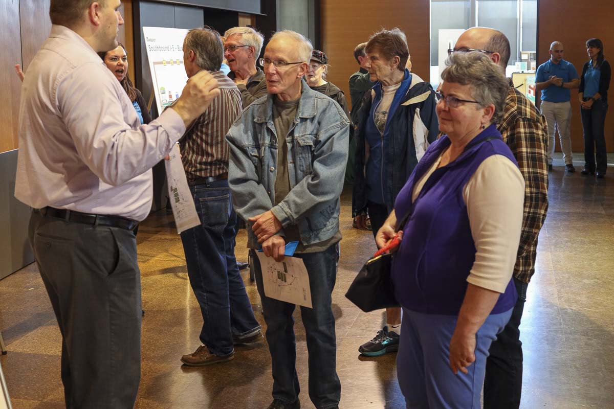
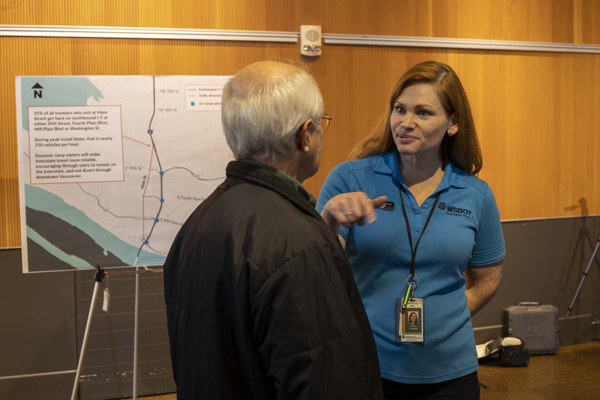
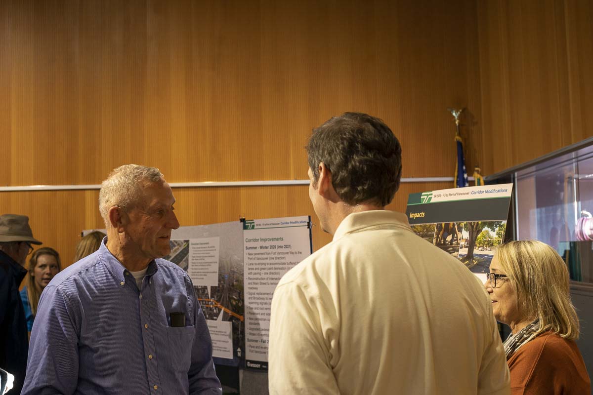
Dozens of people showed up at the Vancouver Library this past Wednesday to ask questions about a number of projects WSDOT has planned for next year, all aligned to be finished before a nine-day closure of the Northbound Interstate 5 Bridge starting Sept. 12.
“A good number of these projects were funded, but knowing that the trunnion work would need to come, we have advanced some of it to help offset the impact of the northbound interstate bridge span closure,” says WSDOT Southwest Region spokesperson Tamara Greenwell.
The I-5 Bridge has closed once before, in the late 90s, but at that time the Glenn Jackson Bridge on I-205 was a good enough alternative to help reduce some of the problems. Now, that crossing is often just as busy as I-5, and sometimes worse.
“So we’re trying to put these tools in place, not only for during the trunnion closure,” says Greenwell, “but to help reduce the impact of congestion for travelers on southbound I-5 in Vancouver.”
Those tools include new ramp meters at ramps onto I-5 southbound from 78th Street, Main Street, SR-500/39th Street, Fourth Plain Boulevard and Mill Plain Boulevard, as well as the replacement of existing ramp signals at SR-14 and Washington Street in downtown Vancouver.
“Really what our hope is, is that will take away a little bit of the advantage of jumping the queue,” says Scott Langer, regional administrator for operations and planning with WSDOT. “And the main reason for that is that, when they actually do that, they’re causing more problems on I-5 when they go to get back on.”

People using side streets to try and save time on their morning commute has also created issues for people trying to get around downtown Vancouver in the morning. Langer says ramp meters should help smooth out what they refer to as “turbulence” getting onto the freeway, and help reduce the overall duration of the morning rush hour by up to half an hour.
“As we go and we build out the system and we actually improve the flow on the main line, you wait a little bit longer to get on, but once you’re on you move faster than you would without them,” says Langer.
That project will also include new traffic cameras and sensors to help monitor the flow of traffic. That system will communicate with new message boards over the freeway to notify drivers of upcoming congestion, and even reduce the speed limit during times of high traffic volume.
“It’s really important to note this isn’t going to fix traffic,” says Greenwell. “Traffic isn’t going to magically just be better.”
What it will do is provide better data for WSDOT engineers to look at trends, and better real-time adjustments of the flow onto I-5 during peak travel times.
The other major project beginning next year will be designed to eliminate a major headache for people who live downtown between the Port of Vancouver and I-5. Currently, large vehicles divert onto city streets due to high points in the roadway and limited overhead clearances.
The SR-501 I-5 to Port of Vancouver project will repave Fort Vancouver Way to West 26th Avenue over the next two Summers, including new striping for bicycle traffic. The larger project, which will take place between Summer and Fall 2020, will include the removal of high points in the roadway, reconstruction of traffic signals to improve mobility for large freight vehicles and increased safety along the corridor for all modes of transportation. Crews will also remove trees causing damage to sidewalks, which will be replaced by the City of Vancouver.

According to WSDOT’s project page, “corridor modifications will increase safety along the corridor for all modes of transportation. Improvements will include reconstruction of two intersections (Washington/Mill Plain and Main Street/Mill Plain) and the replacement of three signal systems on Mill Plain (Columbia, Broadway and Main Street).
“Pedestrian and bicycle features will also be added including upgraded pedestrian ramps to current ADA standards, buffered bike lanes, wider sidewalks to accommodate a shared use path and new crossing signals.”
For more information on upcoming WSDOT projects, visit http://www.transinfo.state.wa.us/projects/gis/mapping/interactivemap.asp.


