

City of Vancouver staff will next present the proposed Heights Mixed-Use zoning district and development standards to the Planning Commission in a public hearing on June 8
VANCOUVER – Members of the Vancouver City Council have endorsed the advancement of a new zoning district and associated development standards necessary to implement The Heights District Plan to the next step in the approval process.
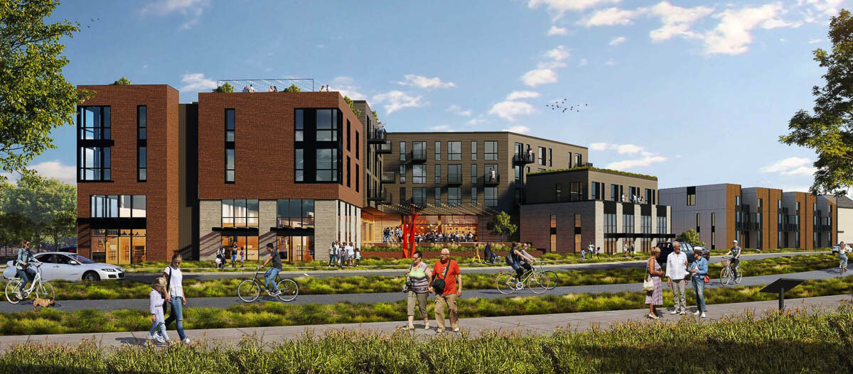
The Heights District is a top priority effort of the city to develop a transformative multiple use project that embraces equity objectives of inclusive housing, connectivity and travel options, sustainability, and provides for future opportunities in economic development.
City staff will next present the proposed Heights Mixed-Use (HX) zoning district and development standards to the Planning Commission in a public hearing on June 8 and then bring it back to Vancouver City Council for final review and action in a public hearing afterwards (date pending).
“We are excited to enter the next phase of bringing the innovative Heights District project to fruition,” said Vancouver Mayor Anne McEnerny-Ogle. “After a robust community engagement and planning process, the city is ready to move forward with a plan rooted in equity and neighborhood livability that serves the needs of Vancouver’s diverse communities.”
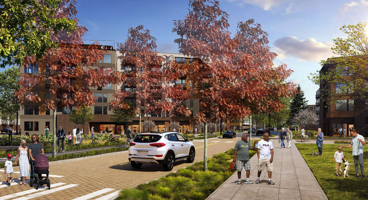
The new HX zoning district is intended to promote a flexible mix of residential, retail and employment land uses and a walkable land use pattern within The Heights District, allowing people to live and work within walking distance of each other.
The HX zone will include urban development design standards intended to provide a framework to realize the community’s vision and policy direction for The Heights District. It takes into consideration the unique character and needs of four specific sub-areas within the district:
- District Gateways, which serve as entry points to the district and have design elements that define it, including intersections, public art and wayfinding signage
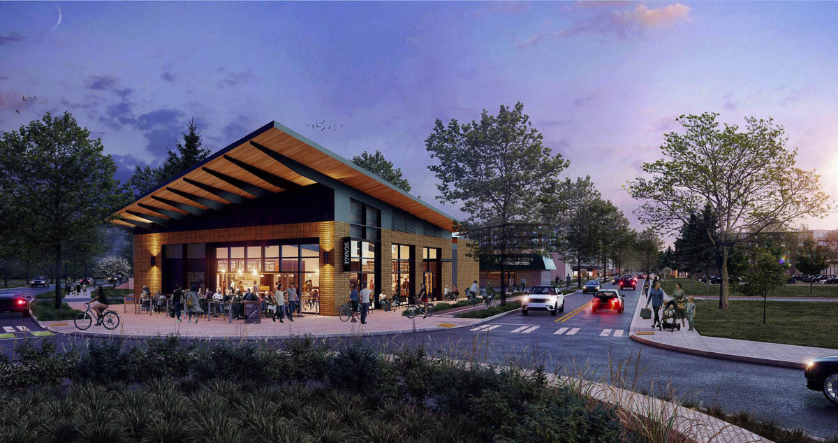
- The Activity Center, which is the “heart” of the district with the highest density of buildings and the highest quality of construction materials and amenities
- The Residential Neighborhood, which includes a mix of smaller townhomes and multi-family housing, quiet, tree-lined streets and parks
- The Innovation Hub, which includes an eclectic mix of uses, such as healthcare services, offices, and live/work uses, at a comfortable scale next to the proposed MacArthur Boulevard greenbelt
“The mixed-use Heights District plan is a remarkable opportunity to create a vibrant urban center with livable, walkable neighborhoods and transit integration,” said Vancouver City Manager Eric Holmes. “The plan also sets the stage for future private development to support a strong economic environment for our community.”
The associated development standards reflect feedback received from the city’s Planning Commission, community members, property owners and the development community, including:
- Changes to the proposed height and depth of buildings
- Changes to the types of uses allowed the ground floor of certain streets (e.g. only residential uses allowed along Idaho Street, along most of MacArthur Boulevard and most of Devine Road north of Mill Plain Boulevard)
- Addition of a minimum residential density requirement to ensure densities are adequate to support desirable amenities and services
- Allowing construction of Accessory Dwelling Units (ADUs)
- Added flexibility to surface parking screening requirements
City staff is also developing design guidelines for the district, which are a flexible and discretionary tool used to ensure high-quality and sustainable development in The Heights District over time, in coordination with the new development standards. They address all aspects of development, including public spaces, streets and streetscapes and the way buildings look and function.
More details about the new HX zone, its associated development standards and the design guidelines are available online at www.beheardvancouver.org/heights-district-plan.
Vancouver City Council adopted The Height District Plan in August 2020. This marked the culmination of more than two and half years of public engagement and participation in the planning process and resulted in a community vision for how The Heights District will develop over the next 20 years.
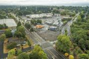
The Heights District is a 205-acre area between East Mill Plain Boulevard to the north, MacArthur Boulevard to the south and west and Andresen Road to the east. It includes several city-owned properties, including the former Tower Mall shopping center, a water facility, fire station and Park Hill Cemetery, plus three public schools and commercial and residential areas.
Information provided by city of Vancouver.
Also read:
Past and future collide in The Heights District
Opinion: Heights residents want a task force to work with the city on Heights District Redevelopment Plan
‘The end of phase one:’ Heights District redevelopment plan moves forward despite objections

Parking and density remain key concerns for Heights District redevelopment plan

