Level 3 evacuation zones lifted Thursday afternoon
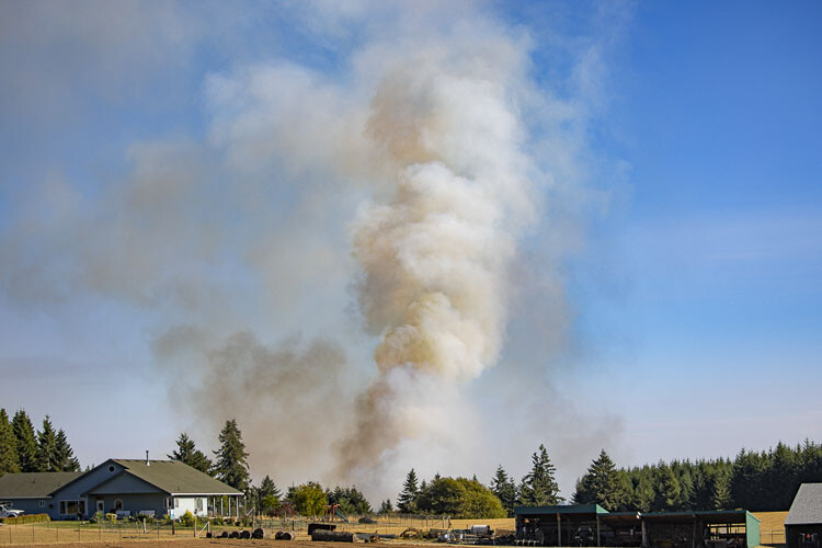
The efforts of the multiple agencies battling the Jenny Creek Fire near La Center have improved mapping capability that reveals the fire size has been reduced to 32 acres as of Thursday (Aug. 17) afternoon according to an update from Clark Regional Emergency Services (CRESA).
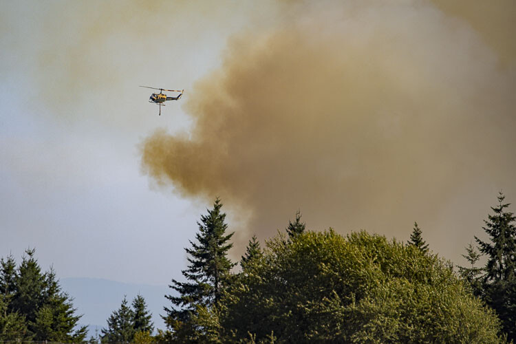
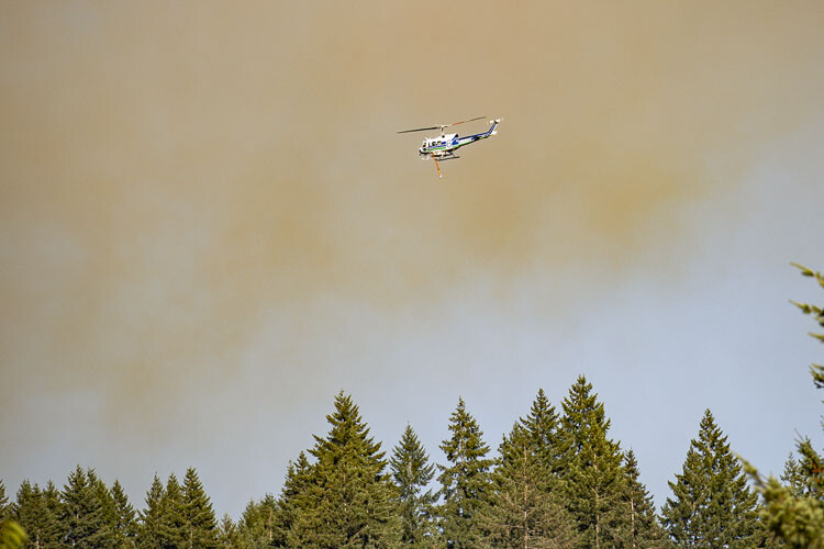
The agencies fighting the blaze include Washington State Department of Natural Resources (DNR) and several Clark County-area agencies including the Clark County Sheriff’s Office, American Medical Response, Clark-Cowlitz Fire & Rescue, Clark County Fire District 3, Fire District 6, Fire District 10 and Fire District 13, Vancouver Fire Department, Camas-Washougal Fire Department, Cowlitz County Fire District 1.
As of 12:25 p.m. Thursday, CRESA reported that the fire, which started on Wednesday, was 60 percent contained with perimeter establishment and the burning fire was 5 percent controlled as crews continued to build a line around the fire.
Thursday evening, CRESA lifted the Level 3 evacuation zone.
“The Wildfire evacuation situation on Jenny Creek Road has changed and residents may return home but should remain ready to evacuate should the situation change,’’ read a statement from CRESA.
Information on current zones is available on the Clark County GIS map. https://rb.gy/hiegf.
This map can be found at CRESA911.org or CRESA Facebook. Because of ongoing fire danger weather, CRESA officials advise that community members monitor CRESA911.org for current fire hazard awareness.
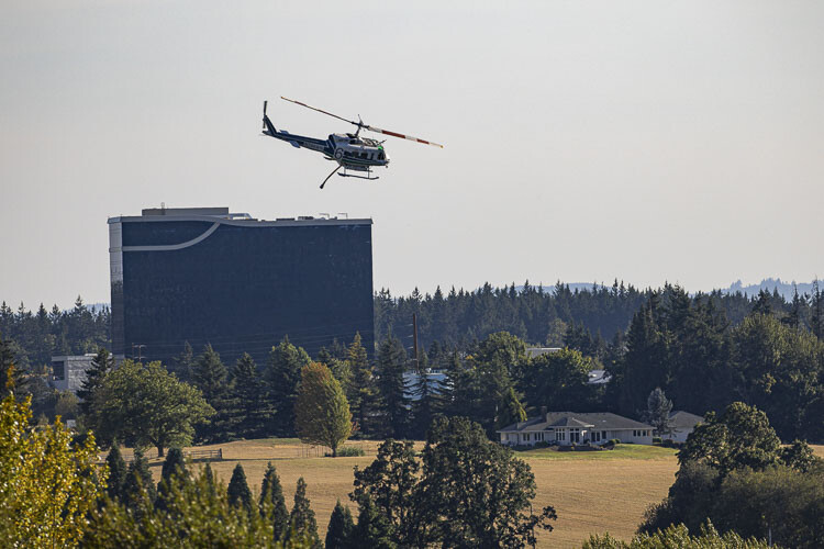
The American Red Cross and others are working to assist with sheltering needs for any individuals in need. An evacuation assembly area for impacted residents is set up at the Ilani Casino RV parking area.

Also read:
- Opinion: ‘I feel bad for the former president, I really do’
 Editor Ken Vance reflects on Joe Biden’s recent media appearances and calls for answers about leadership during his presidency.
 - Plan for overnight lane closures on I-5 near Ridgefield, May 12-23
 Drivers near Ridgefield should prepare for overnight I-5 lane closures May 12–23 during bridge work on the Pioneer Street overpass.
 - Lawsuits associated with Michelle Belkot’s removal from C-TRAN board in holding patternsTwo lawsuits tied to Councilor Michelle Belkot’s removal from the C-TRAN board are awaiting court dates and could impact a key vote in July.
- Animal Protection and Control seizes multiple animals in animal cruelty caseAuthorities rescued 45 animals and charged a Vancouver man with animal cruelty after a lengthy investigation.
- Opinion: Rent control was signed into law last week – here’s why it was exactly the wrong thing to doMark Harmsworth criticizes Washington’s new rent control law and warns of long-term damage to the housing market.
- Share Your Thoughts: IBR program holding online open house and public comment periodThe IBR Program is seeking public input on how it will handle impacts to historic and cultural sites during the upcoming bridge project.
- Letter: ‘I have dedicated my life to public service and look to continue my service as a Charter Review Commissioner’Brad Benton announces his candidacy for Charter Review Commissioner, pledging a non-partisan, service-driven approach.