

The National Weather Service says another 4-9 inches of accumulation is possible by Saturday morning in Clark County
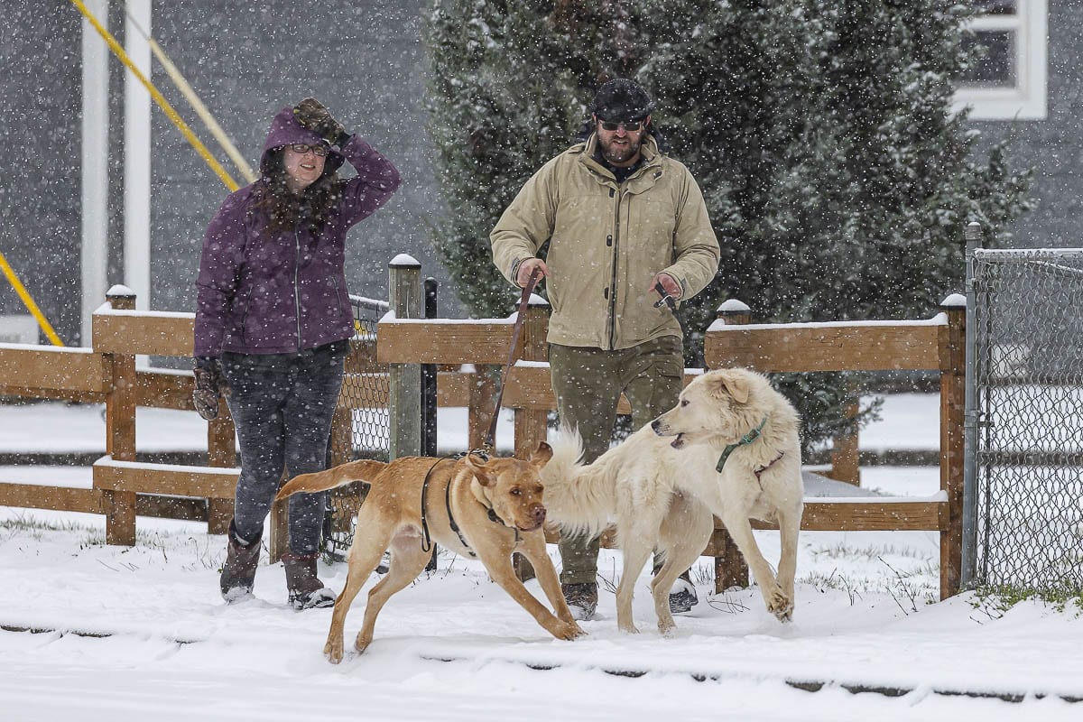
CLARK COUNTY — Plenty of people headed out on Friday to enjoy a day off of work or school, seeking out hills to slide down or gathering snow into projectiles to lob at one another.
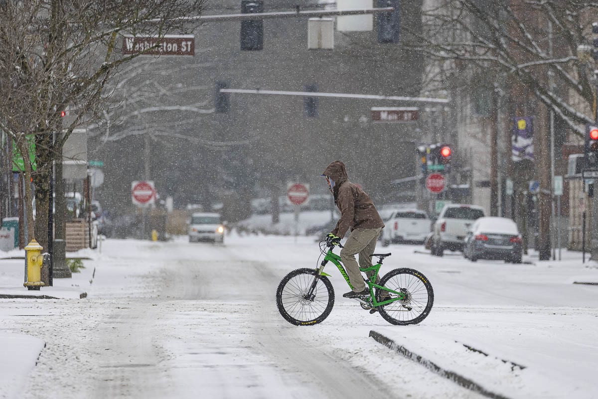
If you’re a snow lover, the National Weather Service in Portland has some good news for you (or bad news, if you’re not into the white stuff): Another 3-9 inches is expected to fall Friday night into Saturday, and whatever accumulates will likely stick around at least through Sunday.
David Bishop, a meteorologist with the National Weather Service in Portland said light snow or sleet should continue through the rest of Friday, then steadily increase overnight through mid-morning on Saturday.
“We’re not really expecting a convective band of precipitation or something like that to develop,” Bishop says. “We’re just more or less expecting a steady amount of precipitation over the time period.”
How much you get could depend on your elevation, or whether a heavier band of precipitation forms over the top of your location. However much you get, there should be plenty to play in come Saturday morning.
A third round of moisture moves through the area on Sunday, said Bishop, but should be lighter and potentially a sleet or freezing rain mix in some locations as warmer air pushes in above the cold being pulled through the Columbia River Gorge.
Sunday’s storm could drop another half inch to an inch of snow on top of what’s already there, said Bishop, before things dry out. By Monday afternoon, another band of warmer precipitation should have scoured most of the cold out of the area, with temperatures climbing into the low 40s and rain returning.
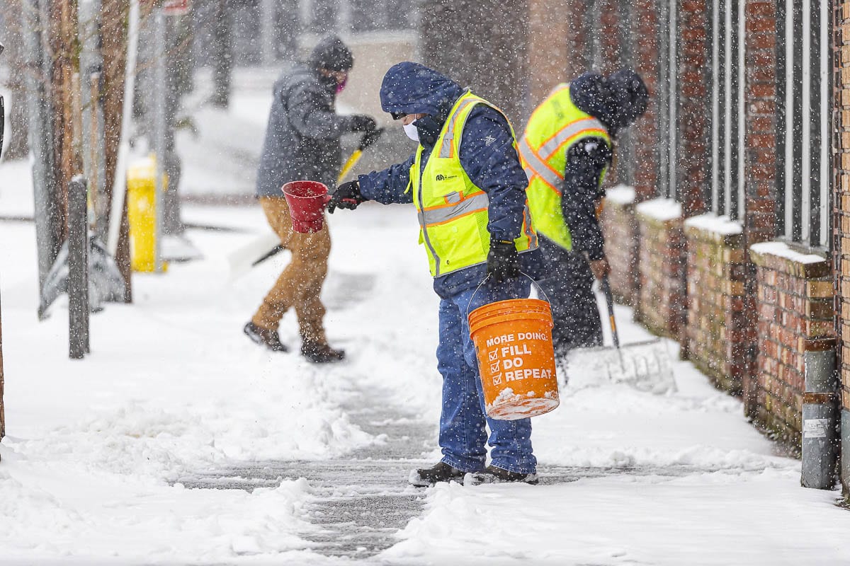
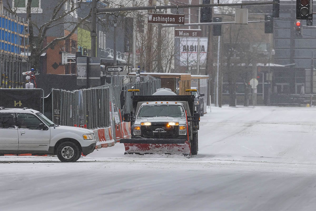
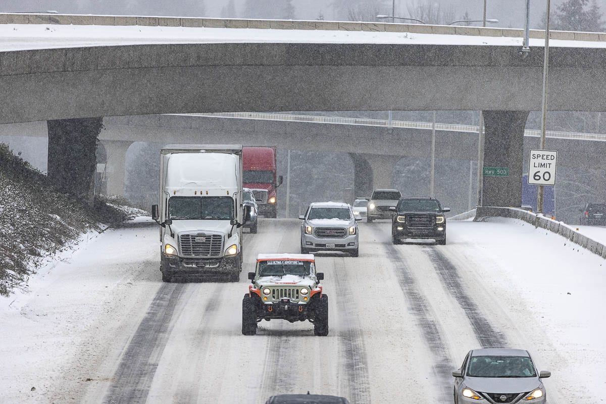
Roadways in Clark County should be mostly snow covered tomorrow morning, but mid-February sunshine, even through the clouds, could be enough to cause some melting on paved surfaces. Overnight freezing could lead to treacherous conditions on Sunday morning.
“Remain vigilant,” Bishop cautions. “If you are planning on venturing outside or doing any traveling, take a look at road conditions, see what roads are closed. Just take into account all of the potential risks.”
And definitely pack a sled or toboggan. You know, in case you find a good hill.
