Adventure out into the National Volcanic Monument home to the most famous active volcano in the mainland U.S.
COUGAR — On the morning of May 18, 1980, a modest-sized mountain in the Cascade Range of southwest Washington became the most famous volcano in the continental U.S.
Mt. St. Helens’ eruption was one of the largest in recorded history, beginning with a 5.1 magnitude earthquake, which triggered a massive landslide; nearly a cubic mile. The landslide tore open the mountain, releasing the pressurized gas and ash inside.
The enormous ash cloud blasted outward at speeds of over 90 mph and upward, high enough to reach the stratosphere, and drift as far as California. Over 150 square miles of forest was blown down in an instant, or scorched dead in place.
Fifty-seven people lost their lives in the eruption, while some 200 homes, 47 bridges, 184 miles of highways, and 15 miles of railways were destroyed. An estimated 5.4 million tons of ash was blown out of the volcano.
In 1982, President Reagan and members of Congress established the Mt. St. Helens National Volcanic Monument and created a vast landscape to explore and learn from. This is what makes the monument a perfect candidate for the Pacific Northwest Day Trip series.
In our third adventure of the series, we take you through the heart of the monument, right up to the face of the mountain. Along the way, we explore several centers, viewing spaces, historical sites, and of course, some delicious food.
From all of us at ClarkCountyToday.com, we hope you have incredible adventures day tripping across the Pacific Northwest, beginning right here at home.
Here are our favorite spots within the Mt. St. Helens National Volcanic Monument and beyond:
1. Mt. St. Helens Visitor Center at Silver Lake
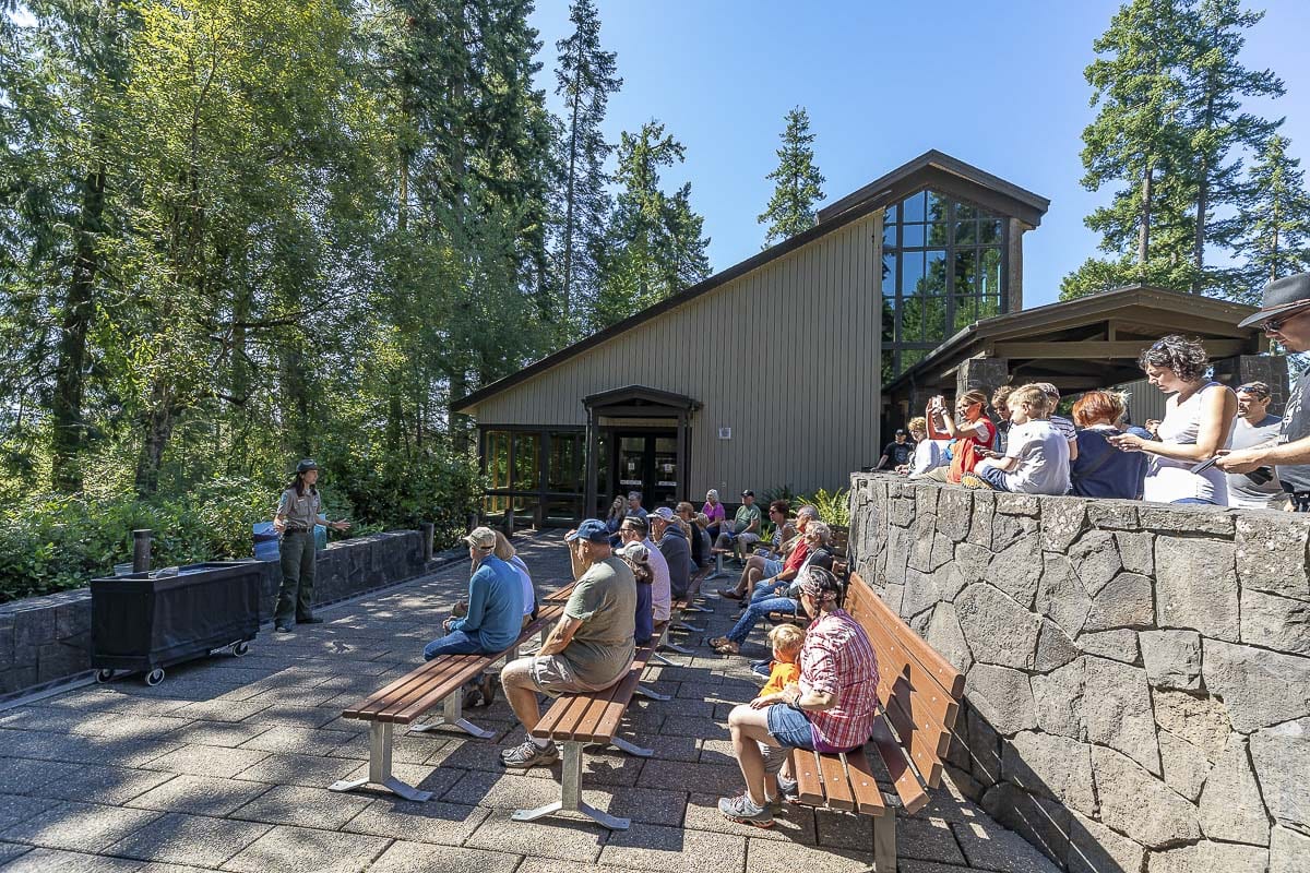
- The visitor center is located 30 miles from the mountain
- Outside, a small amphitheater is used for ranger presentations
- Inside, a theater and exhibit with a large step-in model of the volcano can be found
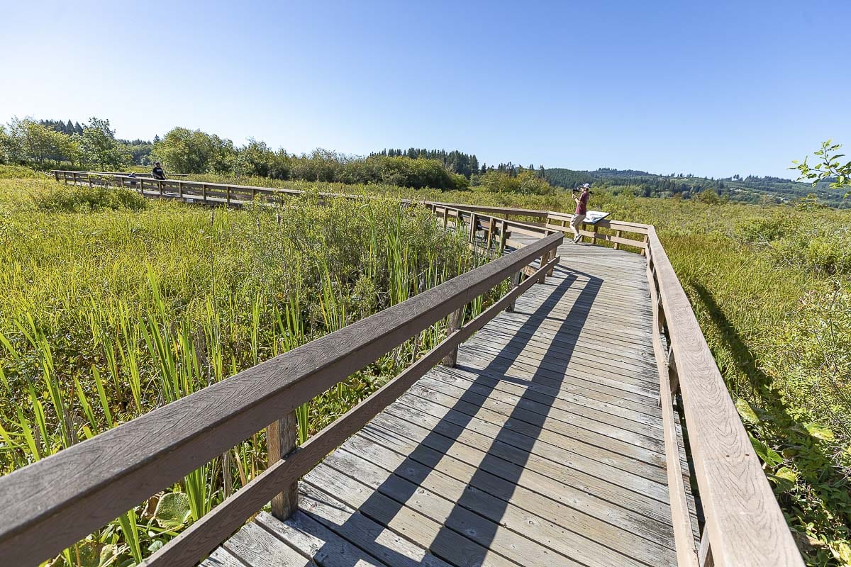
- Behind the center, trails and wooden platform walkways criss-cross the wetland adjacent to Silver Lake
- The center also manages a seismograph with a live feed of the mountain
2. Forest Learning Center by Weyerhaeuser
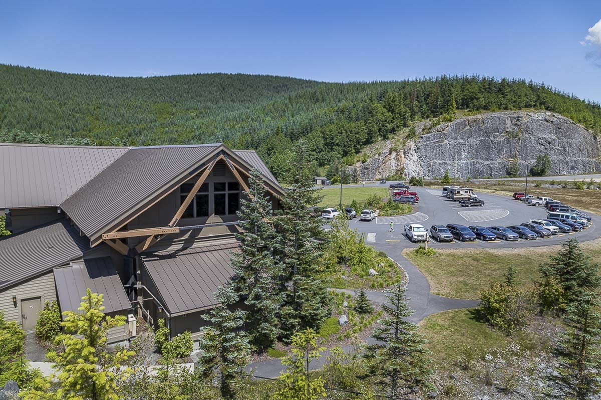

- Located inside the blast zone, off the Spirit Lake Memorial Highway
- The center is maintained through a partnership of Weyerhaeuser, WSDOT and the Rocky Mountain Elk Foundation
- The center showcases the recovery process for the forests surrounding the volcano
- Outside is a large interactive children’s play area, viewing platforms for the mountain and a viewing platform for elk spotting
- Inside, a theater and full-size exhibits featuring animals and trees fills the building
- Kids activities and models of the region are scattered throughout the center
3. Fire Mountain Grill at the 19 Mile House

- The only true restaurant on the way to the mountain, Fire Mountain Grill features Americana cuisine and famous fruit cobblers
- The building is historic and maintains a wrap around deck with views of the Toutle River below
- Outfront, there is also a large Weyerhaeuser logging truck from 1980 that was totaled in the blast; it now has a tree growing through it
4. Buried A-Frame and Bigfoot Statue
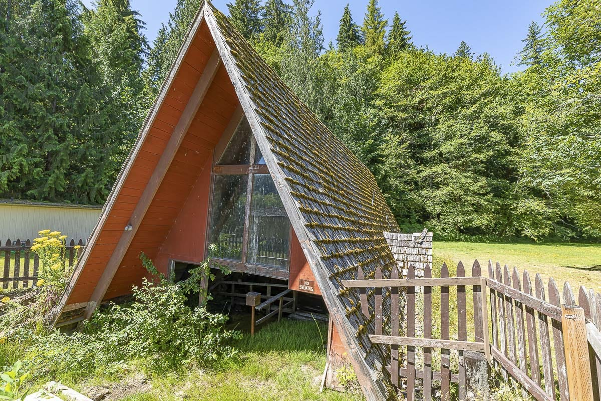
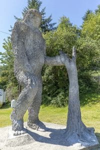
- The half-buried A-Frame home is another historic stop on the way up, although you can no longer walk thru it
- Refreshments and supplies are available for purchase at two small stores nearby, and helicopter tours of the valley also take off for here
- The original bigfoot statue was destroyed in the 1980 eruption, and is now replaced with a larger, concrete version
5. Coldwater Lake Picnic and Boating Site
- The lake was actually created by the eruption, when mudflows constructed and blocked Coldwater Creek
- The lake shines a brilliant blue, and is safe for swimming, fishing and boating
- A boat launch is available to visitors, as well as a picnic area with tables and a restroom with running water
6. Elk Rock Viewpoint, Castle Lake Viewpoint, and Loowit Viewpoint
- These three viewpoints are in sequential order going towards the mountain, and each feature a stunning yet unique view
- The are dotted nearly equidistant from each other over 14 miles of Spirit Lake Highway; just before Johnston Ridge Observatory
- Each offers parking and a safe area to view and take photos of the mountain and Toutle River Valley
- Hummocks are, in fact, large pieces of Mt. St. Helens, hurled miles down the Toutle River Valley
- Now hills, the hummocks create miniature valleys, which this trail winds through
- The hike lasts several miles, but is easy in incline and has many beautiful forested points with views of the mountain

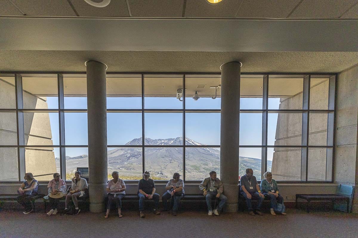
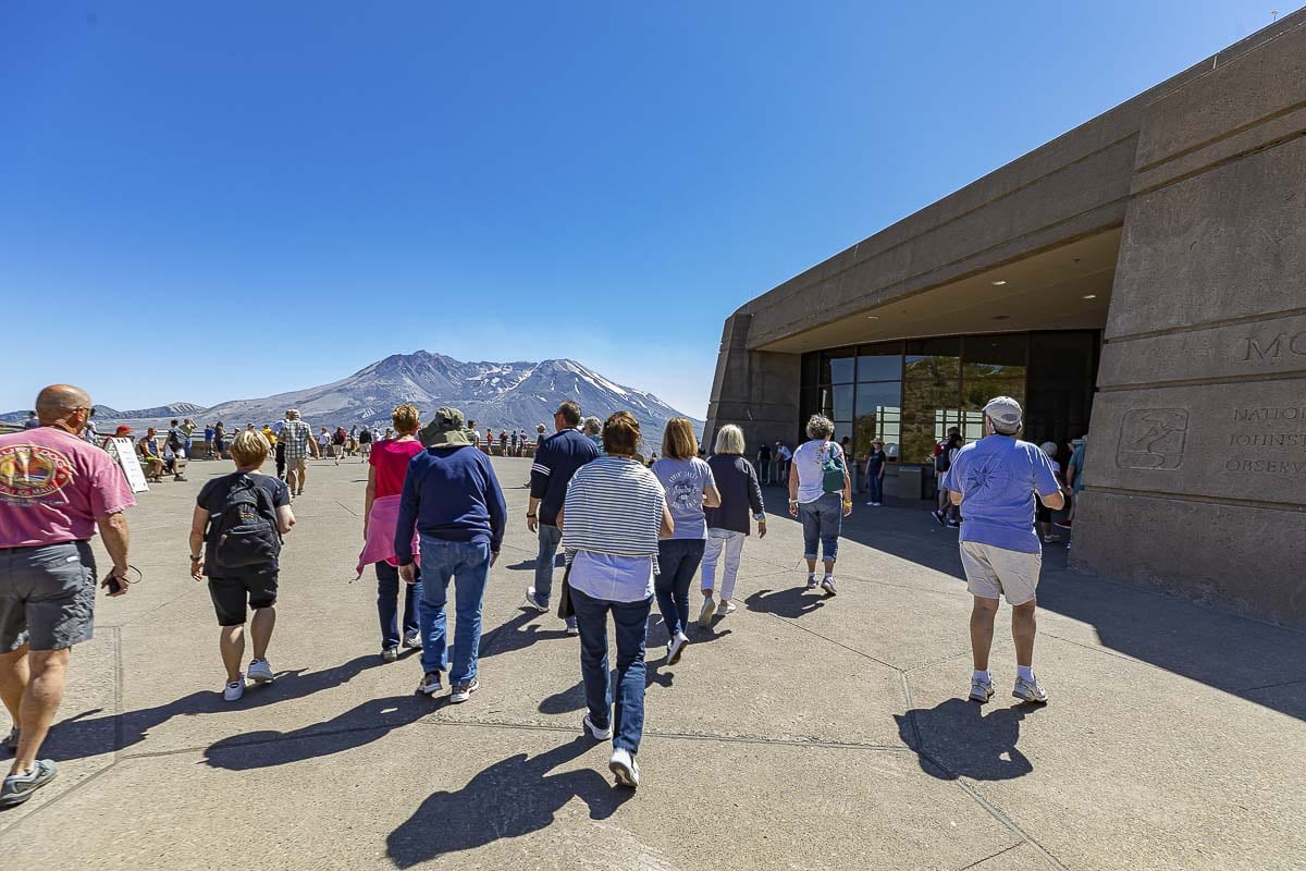
- Named for the late volcanologist, David A. Johnston, who lost his life in the 1980 eruption while studying the mountain
- The observatory is the epicenter of all things Mt. St. Helens: research, measurements, studies, views, exhibits, trails, etc.
- A large parking lot also features a small food cart which is open sporadically
- Up a somewhat steep walkway, you will find the observatory itself, with the main overlook of the volcano’s horseshoe-shaped crater
- Inside the main building there are large scale models of the surrounding topography, as well as broken trees, a seismograph, a large scale theater playing a documentary, and more
- Outside, to the east, there is an outdoor amphitheater constructed in 2012, for presentations, concerts and viewing
- Connected to the observatory is a network of trails leading up the ridge and closer to the mountain


